In the ArcGIS Online GIS environment, we develop, install and maintain various applications that support effective communication with the professional and lay public. The applications enable both access to information as well as a collaborative approach to data entry and editing (development of mobile applications for collaborative mapping). A large part of the displayed data is public, while part is for internal use and intended for narrower professional groups and users.
1. Functionally degraded areas in Slovenia 2020
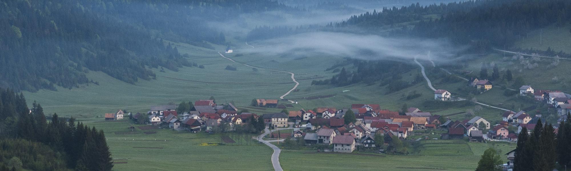
Basic information on functionally degraded areas is available in a publicly accessible viewer, which enables views by region and type of functionally degraded area. As you zoom in on the map, the polygon of a particular area is displayed, and when you click on a specific location, basic information about a particular area is also available.
Conditions are shown as of September 2020, when we completed the first update of the national FDA database (the first census in 2017, with 1,081 areas recorded (CRP project, co-financed by MGRT). The 2020 database shows 1,067 sites with a total area of 3,747 ha.
Researchers at the Department of Geography carry out ongoing monitoring of processes involving the abandonment of activities and other forms of degradation of space—systematic monitoring at the level of Slovenia is currently not enabled, but the need for such data has been expressed by various governmental departments (in addition to those at the Ministry of the Economy, also at the Ministry of the Environment, the Ministry of Agriculture, and the Ministry of Infrastructure), public institutions (municipalities and regions) and the business sector.
We continue to systematically monitor and record current conditions, and the entire archive of materials and photographs collected so far (from 2015 onward) is kept at the Department of Geography of the Faculty of Arts.
Changes in space related to existing and newly identified degraded areas have been monitored at the Department of Geography of the Faculty of Arts of the University of Ljubljana since 2017.
2. Applied Geography Website
The website is the result of cooperation among research, professional and teaching activities within the program group and beyond – with the involvement of geographers “from practice” and geography teachers. The website is publicly available and growing in line with new ICT-supported activities and ideas from researchers and users. Main contents: support for the preparation and implementation of professional excursions (also for other professions), collection of mobile and online geoinformation applications (https://skupnost.sio.si/course/view.php?id=9559), map search engine, and forums on the topics of field research technology and more.
3. School eco-gardens (SEG) in Slovenia
By setting up a viewer for mentors to school eco-gardens and for the general public, we hope to support the exchange of experiences and good practices among caretakers of school gardens and increase the visibility and public support for school gardens.
The school eco-gardens program in Slovenia is recognized as an “example of good practice” of knowledge transfer in the field of sustainable development. By supporting education and awareness-raising and appropriate communication, we cooperate with the School Eco-Gardens Association and offer them professional support in the educational use of school gardens.